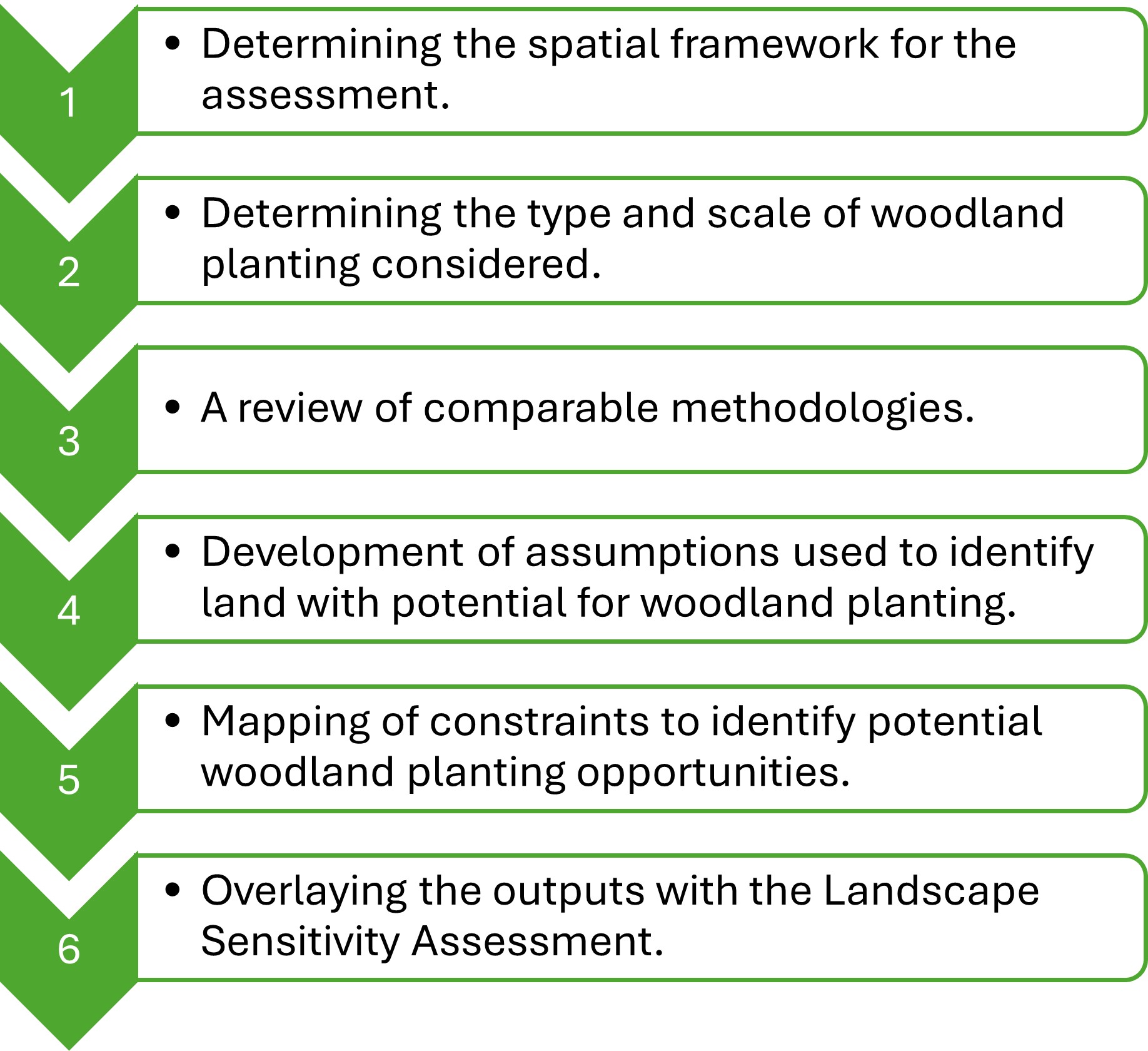
- Determining the spatial framework for the assessment.
- Determining the type and scale of woodland planting considered.
- A review of comparable methodologies.
- Development of assumptions used to identify land with potential for woodland planting.
- Mapping of constraints to identify potential woodland planting opportunities.
- Overlaying the outputs with the Landscape Sensitivity Assessment.
Forest of Avon

2. Methodology Overview
This section outlines the method used to identify land with potential for woodland planting within the study area. This method was developed following a review of national and regional scale woodland opportunity studies.
This methodology seeks to identify land that has potential for woodland planting at a strategic scale. However, further site-based local assessment will be required in order to determine if particular sites are suitable for woodland planting, in conjunction with additional biodiversity, archaeological, landscape and other assessments as required.
The opportunity mapping comprised the following tasks:
×![]()